I had a day off a few weeks ago
and decided to reach the remote Devil’s Creek Gorge along the TN/NC border. Devil’s
Creek flows directly into the Nolichucky River from its source near the top of
Flattop Mountain. The scenic gorge carved by the Devil’s Creek drainage is only a fraction
of the rugged terrain which can be found along the steep northern face of
Flattop. Interesting note: this makes three consecutive posts describing hikes along
the TN/NC border – the border bisects the Nolichucky and follows along Devil’s
Creek southward.
 |
| See? |
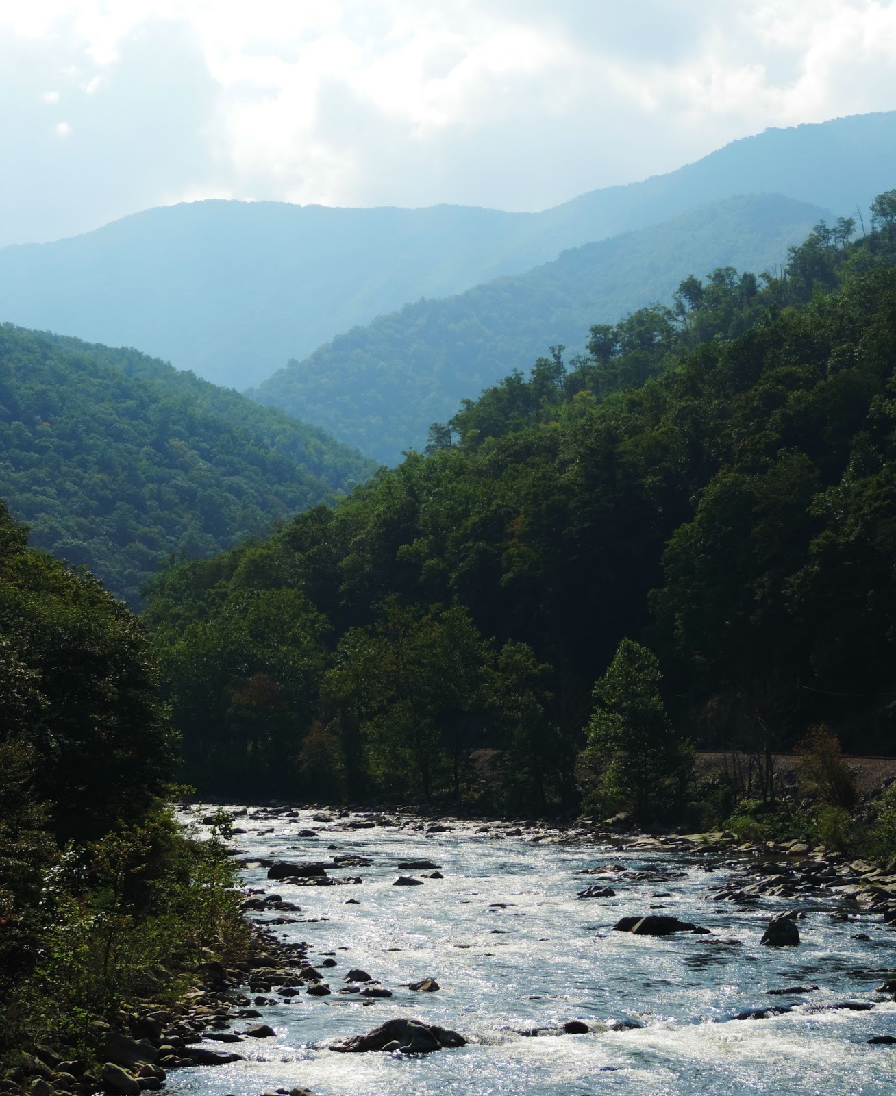
The Nolichucky River is
powerful and has chiseled a steep, wide gorge of its own, with the Unaka Range
rising immediately to the north and Flattop and the other Bald Mountains to the
south. The river serves as the geographic division between the two mighty
mountain ranges which are among the most noteworthy in east Tennessee – with the
Bald Mountains spanning a long distance south from Flattop to the Smokies.
 |
| Zoomed-in view of the Spruce forest which covers Unaka |
It’s through the Nolichucky
gorge that it’s easiest to reach Devil’s Creek. CSX Transporation operates a
functional rail-line that follows the river at the bottom of the gorge. Parking
in Unaka Springs just outside of Erwin allows easy access to the tracks, and
it’s a little over 2 miles of a hike to the mouth of Devil’s Creek. The
inherent dangers of walking railroad tracks are apparent; it’s also illegal.
Ignoring all that, I started my
hike at Unaka Springs and made my way into the gorge. The morning was cool, as
the weather had been the two weeks prior, but I quickly made my way into the
heart of the gorge and direct sunlight – and it warmed up fast. The level
tracks made for easy hiking, despite the awkwardly-spaced ties and large
gravel, but it didn’t take long for the beads of sweat on my brow to multiply.
My “built-for-the-cold” physique had grown too comfortable with the declining
temperatures before my hike, so the 80-degree, high-humidity journey was a
draining one.
 |
| The rough terrain on the northern bank of the Nolichucky |
The rail-line had a couple of
blind corners that I negotiated quickly, with rusted and contorted train parts
scattered on either side of the tracks to provide encouragement. Fortunately,
the only train I encountered that day passed while I was off the tracks, taking
pictures of the river.
After a couple of miles of
sweating and stumbling along the tracks like a hobo that had a little too much
to drink, I made it to Devil’s Creek. There are several creeks that drain into
the southern side of the Nolichucky, but Devil’s Creek is easily spotted – a
small train trestle crosses the mouth of the creek.
 |
| The valley in the distance is Devil's Creek Gorge |
Once I reached the trestle, it
was apparent that Devil’s Creek is rugged and picturesque. From the tracks, I
could immediately see a small waterfall and cascades, with water tumbling out
of the valley. I knew a faint, narrow trail was somewhere on the western bank
of Devil’s Creek, but it was difficult to find. Instead, I followed the creek
itself for about a quarter-mile, snapping pictures and cooling myself from the
unexpected and unwelcome heat.

I eventually reached a point
where it wasn’t possible to continue upstream – the creek was surrounded by
sheer rock on either side and it was too deep for me to be willing to wade, so
I turned straight uphill to get around the obstacle. After climbing 30 feet up
the ridge, I pulled myself up over an overhanging rock and stumbled onto the
trail. It’s fairly common for me to lose or fail to find a trail, only to
stumble onto it after a difficult climb.
I wasn’t exactly sure where the trail led – only that it went deeper
into the gorge, which is where I wanted to go.
My pace was quick as I followed
the narrow trail through the even narrower gorge – the trail had many places
which were washed out, where the grade was too steep to maintain the trail’s
edge. I was moving pretty fast and quickly gained elevation – before long, the
creek was far below me and I could see several sets of cascades and small
waterfalls. I knew that a larger, much more significant waterfall was somewhere
along the creek, and I was fearful I would miss it. My fears were relieved,
however, when the trail I had found led me directly to the waterfall.


It was a steep climb down from
the trail to the waterfall, and instead of awkwardly stepping down the ridge, I
sat down and slid – much faster. The waterfall is two-tiered, and I did my best
to climb to the base of the top waterfall, but every rock offering a foothold
was far too slippery. After relaxing at the base of the falls, I climbed back
up to the trail and explored the otherwise un-noteworthy portion of the creek
above the falls, which only became more overgrown and difficult to follow.
 |
| Looking downstream at the rugged gorge |
After a lengthy and sweaty hike, I climbed out of the gorge and back down to
the Nolichucky. The sun was still obtrusive and you could see the heat
reflecting from the tracks. I retraced my steps from before, hopping from tie
to tie, and stopped at a large rock-face that rises above the tracks and drops
down to the water. I decided I had earned a rest and negotiated the rocks down
to the river – I stripped my pack, my boots, tended to a few blisters, and
stretched out on a warm rock inches from a deep pool in the water.
The air was cool so close to
the water and the nearby rapids were the only sound I could hear; the wind
carried the cool air over my body kept comfortable by the rock beneath me. It
was so relaxing and it didn’t take long for me to start nodding off to sleep. I
felt myself slipping in and out, and I must’ve dozed off for a little while.
I was suddenly shocked back
into the waking world by a man’s scream that resonated above the roaring rapids
– “LEFT!!!” Between my nap and the
rapids only feet away, I had missed two rafts full of helmeted white-water
rafters enjoying the same warm weather that had induced my fatigue. In my
sleep-induced fugue, I interpreted the man’s command as “Oh, there’s someone on
my left, I should probably move to the right.” But the only thing to my right
was the Nolichucky. So, as the gleeful rafters were enjoying a beautiful early
fall day on the water, they were interrupted by the site of a large man,
flailing helplessly as he thrust himself into the river for no good reason. The
water was surprisingly deep.
I quickly bolted out of the
water and avoided eye-contact with the rafters – they were laughing heartily.
My unplanned swim must have seemed like fun, as most of the rafters soon
tackled one another out of the rafts and into the depths of the river. I
laughed off the embarrassing moment, strapped on my boots, and climbed back up
to the tracks and returned to where I had parked. As embarrassing and clumsy as
the end of my hike was, that short dip in the water felt wonderful. And the
same sun I had cussed earlier that day ensured I was dry by the time I returned
to the 4Runner. I was rejuvenated – my lifted spirit served as quite the return
on an instant of humility and a mouthful of river-water.
Thanks for reading!